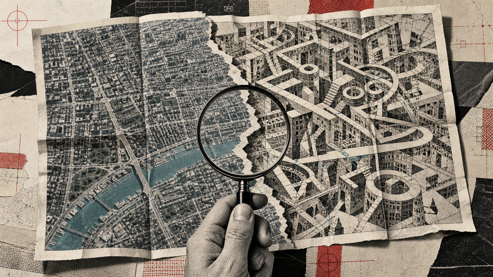
For one day, Google Earth let people select a real location and ask an image model to redesign it. The examples sounded playful: imagine a community garden, reconstruct a historical scene, or try a new city plan. Then Google added a July 31 update to its own launch post saying it was rolling the feature back while it worked on stronger guardrails.1
The reversal matters because Google Earth is not an ordinary image canvas. People use it as a reference for neighborhoods, property, travel, reporting and emergencies. A synthetic picture placed directly on top of familiar geography can borrow some of that trust even when it was created for illustration.1,2
What launched, and what disappeared
Google introduced the feature on July 30 as an integration of Nano Banana image generation with satellite, aerial and 3D imagery in Google Earth. A user could start from a place, enter a prompt and produce a transformed view. The generated result was personal to that user rather than inserted into the shared Earth map.1
The company also said generated pictures were marked as AI-made. That distinction is important. The feature did not secretly replace the base map for everyone, and a person opening Google Earth would not see another user's invented city. The risk appeared after a result left the product as a screenshot or saved image.1
By July 31, Google said people were sharing generated imagery that appeared to violate its policies. It rolled the feature back and said stronger guardrails were needed. The Independent reported that the tool had drawn immediate concern over altered satellite scenes and the possibility that viewers could mistake them for evidence.1,2
- The launch lasted roughly one day before the rollback.
- Generated views were private to the person making them, not changes to the public map.
- Google said the images were watermarked, but still paused the feature.
Why a watermark is not a complete answer
A watermark can tell a careful viewer that an image is synthetic. It cannot guarantee that every later copy keeps the mark. Screenshots are cropped, recompressed and reposted. A dramatic claim can travel in a message thread where the original product context has vanished.1,2
There is also a mismatch between what the eye sees and what the label asks it to remember. The map underneath looks exact. Roads, rivers and building footprints come from a trusted geographic product. The generated layer can therefore feel more documentary than a blank-canvas illustration, even when the label is visible.1
The practical lesson is not that every altered map is malicious. Urban planners, teachers and residents can use speculative views to discuss real choices. The problem is provenance. A useful concept image and a false claim about what exists today may use the same pixels, so the surrounding evidence has to do more work.1,2
- Treat a watermark as a clue, not proof of context.
- Ask where the image first appeared and whether the original prompt is available.
- Compare the scene with an unchanged map or a second dated image source.
How to check a surprising satellite image
Start with the claim, not the picture. If a post says a facility was built, damaged or removed, look for a dated official notice, local reporting or imagery from another provider. The more consequential the claim, the less weight a single screenshot should carry.2
Then inspect the edges. Generated edits often affect only a selected region, so roads, shadows, roofs or terrain may change abruptly at a boundary. This is not a reliable detector on its own, but it can show where to compare against the current base view.1
Finally, preserve the chain of custody. Save the page URL, capture the date and keep the uncropped image when possible. If the only available copy has no source, no date and no explanation of how it was made, describe it as unverified rather than real or fake.1,2
- Search the exact location in a current mapping service.
- Look for the first upload, not the loudest repost.
- Keep uncertainty in the caption when provenance is missing.
What Google has to solve before trying again
Stronger guardrails could mean stricter prompts, limits around sensitive sites, more durable provenance or a clearer separation between reference imagery and creative output. Google has not publicly committed to a relaunch date, so those possibilities should not be treated as a roadmap.1
The harder design question is whether creative editing belongs inside a product whose normal job is to show where things are. A separate creation mode, obvious framing and export labels may reduce confusion, but sharing will always move images beyond the original interface.1,2
The one-day experiment offers a useful standard for other AI tools: safety is not only about what a model can generate. It is also about the authority of the surface where the result appears, how easily context survives export, and what a stranger is likely to believe on first glance.1,2
- The feature is rolled back, not confirmed as permanently cancelled.
- Google said it is working on stronger guardrails.
- No relaunch timing was announced.
The trust problem changes by context
For a family looking at a future garden or a classroom imagining an ancient city, a generated Earth view can be a clear creative exercise. The same tool carries different stakes when the location is a disputed border, a damaged building, an evacuation route or a property offered for sale. Product safeguards have to account for those contexts rather than treating every prompt as equivalent.1,2
Journalists already verify photographs by finding the earliest upload, checking metadata, contacting witnesses and comparing the scene with other records. A generated map view adds another step: confirm whether the image came from a creative mode, the unchanged geographic product or a third-party edit. The familiar Google Earth frame should never be used as the only evidence.1,2
Local governments and planners have a legitimate reason to make speculative scenes. A proposed tree canopy, bike lane or flood barrier becomes easier to discuss when residents can see it in place. Those images should carry the proposal name, date, responsible organization and a plain statement that the pictured work does not currently exist.1
Real-estate listings need an even stricter distinction. A seller may show renovation potential, but a synthetic garden, view or neighboring development can change a buyer's impression of value. Creative renders should be separated from documentary photos, labeled in every exported frame and accompanied by the current condition.1,2
Emergency communication is the highest-risk case. During a fire, flood or conflict, people make decisions quickly and repost information faster than it can be checked. Authorities and platforms should avoid decorative generated map scenes in live instructions. A simple official map with a timestamp, legend and issuing agency is more useful than a dramatic illustration.2
Families can apply the same hierarchy at home. An altered city image can be enjoyed as art while a claim about danger, construction or access needs a current official source. The goal is not to become suspicious of every picture. It is to match the strength of verification to the cost of being wrong.1,2
Google's pause creates space to design those distinctions before a relaunch. The company has said only that stronger guardrails are being developed. Until it publishes details, readers should not assume that a future version will solve provenance, sensitive-location rules or exported screenshot context in any particular way.1
Researchers and archivists face a longer-term problem. A generated view can be copied into slides, reports and social archives after the original creation service disappears. Durable provenance should travel with the file in machine-readable metadata and a visible caption, while archives preserve both the synthetic result and the unchanged reference image. Neither layer is perfect, so independent records and documented methods remain necessary.1,2
Schools can use the episode as a media-literacy exercise without turning it into a detector game. Give students an altered scene, the original map and two claims about what happened. Ask which claim can be supported, what source would settle the uncertainty and how a caption changes interpretation. That practice teaches evidence, not confidence in visual glitches that newer generators may remove.1,2
Platforms receiving exported images can help by preserving provenance metadata, warning when it is missing and linking back to an original when available. They should not promise automatic truth detection. A correctly labeled synthetic scene can be harmless, while a genuine old photograph can still be used with a false date. Context remains the deciding layer. That is why the safest product design makes provenance easy to keep, easy to inspect and difficult to strip accidentally when an image moves between ordinary apps.1,2
- Label speculative planning images with a date and responsible organization.
- Keep synthetic real-estate renders separate from current-condition photographs.
- Use timestamped official maps, not generated scenes, for emergency instructions.
Sources and method
Top Apps HQ compared the dated primary announcement with independent reporting, separated confirmed behavior from interpretation, and kept availability limits explicit.
- Reimagine the world with Nano Banana in Google Earth Google · July 31, 2026 · primary
- Google forced to roll back new AI tool just hours after launch The Independent · August 1, 2026 · independent