Safety note: Follow official evacuation orders and local emergency alerts. Never drive or walk into floodwater because a map appears clear or lacks a closure marker.
Watch Duty began as a volunteer-built wildfire map after its founder experienced a fire without receiving timely official information. On June 8, the nonprofit added major flood coverage across the United States, its first large move beyond fire.1,2
The free map combines National Weather Service alerts, river gauges, rainfall estimates, radar, evacuation information and reports assembled by staff. Associated Press reporting described meteorologists, engineers, dispatchers and trained volunteers working behind an app used by millions during earlier disasters.1,2
A single map can make fragmented information easier to read, particularly when a warning polygon does not explain whether a road, school or river near a household is affected. It cannot replace the official alert that orders evacuation, nor can it guarantee service when power and mobile networks fail.1,2
Flood information arrives from several clocks
A weather forecast may identify a region of concern days ahead. A flash-flood warning can appear minutes before water rises. A river gauge records conditions at one point, while a road closure or evacuation order comes from local authorities. People must assemble these pieces while deciding whether to leave.1,2
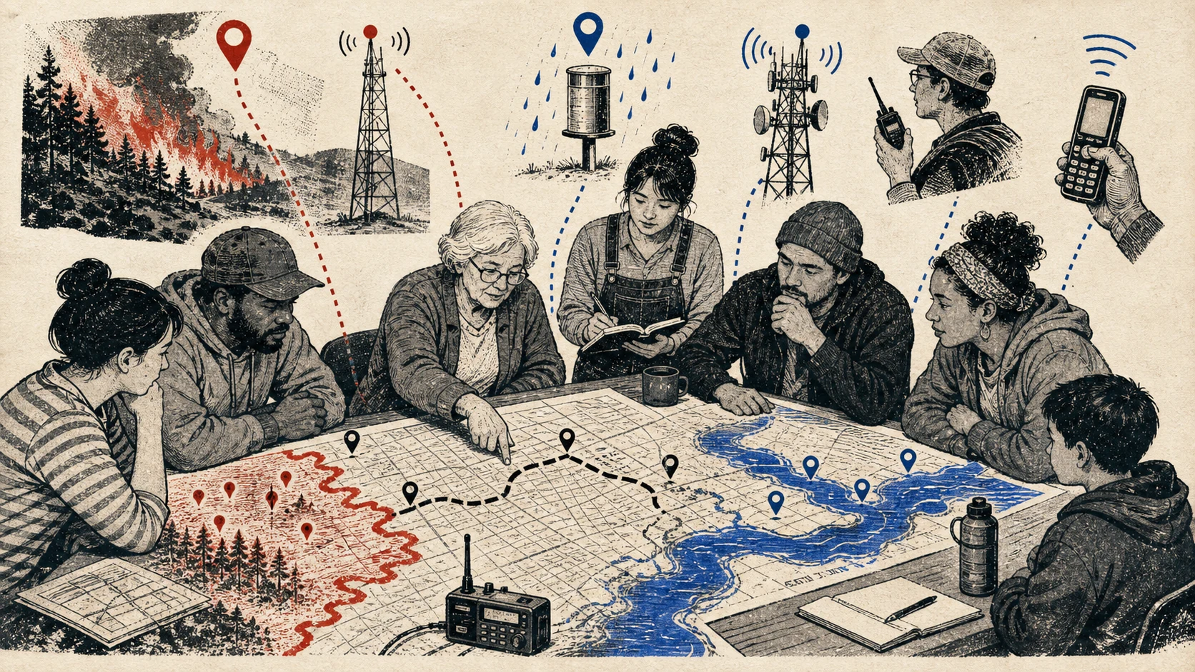
Watch Duty places official warnings, rainfall, gauges and verified local information on one geographic surface. A user can see the warning area, nearby rivers and reported incidents without moving among several government pages and social feeds.1
The map does not make every source equally current. A gauge can lag upstream rain, a report can arrive after a road is already underwater and a forecast can change. The safe use is to understand the pattern and act on official instructions, not wait for the app to confirm water visible outside.1,2
A second channel improves resilience
Emergency information should never depend on one app or one company. Keep government wireless alerts enabled, register for local emergency messages where available and know which radio station or authority publishes evacuation orders. Watch Duty can add context around those channels.1,2
Test notification settings before a storm. Battery optimization can delay background alerts, while phone focus modes can silence them. Allow critical notifications if the app and operating system support them, but do not disable ordinary security settings or grant unrelated permissions.
Keep a battery radio and charged power bank because a map is least reachable when towers, broadband or electricity fail. Save local emergency numbers and an offline screenshot of evacuation routes, then update the route if authorities publish a new one.
Set places, not a wall of alerts
A national map can produce too much information. Configure alerts around home, work, school, relatives and a travel destination rather than every incident. The goal is to notice a relevant warning quickly, not to watch disasters as a continuous feed.1
For each saved place, decide what the household does at watch, warning and evacuation stages. A flood watch may trigger charging batteries and moving a car. A flash-flood warning may mean avoiding low crossings immediately. An evacuation order means following the named route without waiting for another notification.
If several family members use the app, compare settings and choose an out-of-area contact. Do not assume everyone received the same alert. One person may have no signal, an expired login or a phone left in silent mode.
A map cannot judge the water in front of you
Floodwater can hide a washed-out road and move a vehicle with less depth than a driver expects. Never enter a flooded crossing because the map shows the road outside a warning polygon or because no closure marker has appeared. Conditions change faster than a reporting system.2
Urban flooding can also occur away from a named river. Blocked drains, steep streets and overloaded storm systems create hazards that a river gauge does not measure. Local observation matters, but it should lead away from danger rather than closer for a photograph or report.1,2
Report information only from a safe location and through channels the service provides. Unverified social posts can create confusion for neighbors and responders. Watch Duty's model is built around trained reporting and official data, which is different from treating every nearby message as an alert.1,2
Install the plan, not only the application
Before flood season, identify higher ground, two exit routes, a place for pets and the documents or medicine that must leave with you. Move irreplaceable items out of a basement or low garage. The app can show where the problem is; it cannot pack or move a car after water arrives.
Review flood coverage separately from wildfire settings. A home outside a fire zone may sit downstream from a dam or beside an urban drainage channel. A household familiar with evacuation for fire may need a different direction and less warning time for water.1
Travel creates another alert gap. Save a hotel, campsite or relative's address before arrival, then look for rivers, low roads and the county or municipality that issues warnings. Do not assume the emergency agency name is obvious from the postal address. If local alerts require registration, complete it while connectivity is normal and write the accommodation address where every traveler can find it.1,2
Watch Duty's expansion is valuable because it organizes public information around the place a person recognizes. Its safest role is one layer inside a prepared household: official alerts for authority, the map for context, and a practiced plan for action.1,2
- Keep government wireless and local emergency alerts enabled.
- Save only relevant places so important notifications remain visible.
- Prepare power, radio and offline route backups.
- Never drive through floodwater because an app lacks a closure marker.
Sources and method
The launch happened on June 8. Associated Press reporting from June 22 independently examined the feature, staffing and funding. Watch Duty's user counts and reliability descriptions are attributed to the nonprofit or AP rather than independently measured here.
- Watch Duty now covers major flooding nationwide Watch Duty · June 8, 2026 · primary
- Watch Duty, the fire tracking app used by millions, expands to help monitor dangerous floods Associated Press · June 22, 2026 · independent